
Featured projects from the 11th Symposium on the Coastal Environment, Austin, TX, January 7-10, 2013.
Establishing a Community-Based Extratropical Storm Surge and Tide Model for NOAA's Operational Forecasts for the Atlantic and Gulf Coasts
J. C. Feyen ([email protected]), Y. Funkoshi, A. J. van der Westhuysen, S. Earle, C. C. Magee, H. L. Tolman and F. Aikman III
Impacts of extratropical storm surge can be far-reaching and catastrophic along the East Coast of the United States. In order to improve National Oceanic and Atmospheric Administration (NOAA) forecasts, a new operational coastal ocean model, the Extratropical Surge and Tide Operational Forecast System (ESTOFS), was developed for the Atlantic and Gulf coasts using the community-based ADvanced CIRCulation (ADCIRC) model. ESTOFS is designed to model the combined water level caused by extratropical storm surge and tides.
The ESTOFS delivers predictions of (1) combined surge and tide, (2) astronomical tides, and (3) sub-tidal water level (the isolated surge) throughout the U.S. Atlantic and Gulf coasts. ESTOFS uses an unstructured grid with a coastal resolution of down to 3 km that extends up to the coastline. The model is forced by 10 m winds and sea level pressure from the NCEP Global Forecast System (GFS) to create predictions out to 180 hours four times daily. Tides are forced at the ESTOFS open ocean boundary using a TOPEX/POSEIDON global tidal model (TPXO, version 6.2) and within the domain via tidal potential body forces.The ESTOFS models the surge and tides together; a parallel simulation is made solely with tidal forcing to generate the tidal prediction and these tides are subtracted from the combined water level to compute the subtidal water level. By modeling surge and tide together, important nonlinear interactions are captured by the model, and by separating them via post-processing, users such as forecasters can view and adjust the surge prediction. This capability serves the needs of National Weather Service forecasters at the National Centers for Environmental Prediction/Ocean Prediction Center (NCEP/OPC) and the NCEP/National Hurricane Center/Tropical Analysis and Forecast Branch (NHC/TAFB) for providing offshore marine forecasts, and at Weather Forecast Offices for coastal inundation forecasts. ESTOFS was put through a comprehensive statistical skill assessment that included a full year's hindcast and real-time forecast tests. Operational implementation of ESTOFS Atlantic occurred in August 2012 at NCEP.
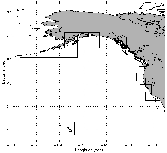
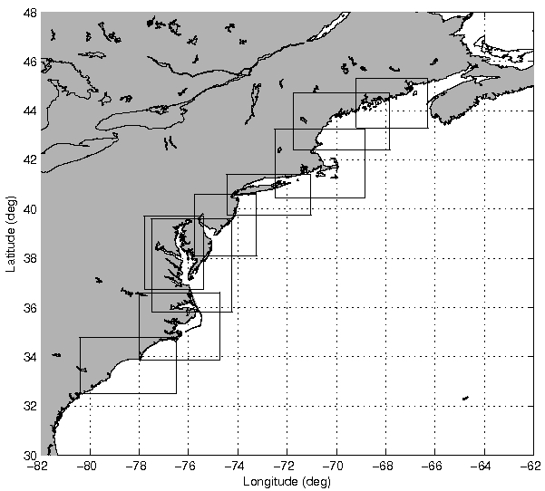
The Coast Survey Development Laboratory (CSDL) of the National Ocean Service (NOS) and NWS/NCEP/EMC collaborated to develop ESTOFS and transition it to operations in conjunction with NCEP Central Operations (NCO). ESTOFS is now being developed for the U.S. Pacific coasts with operational implementation planned for 2014.
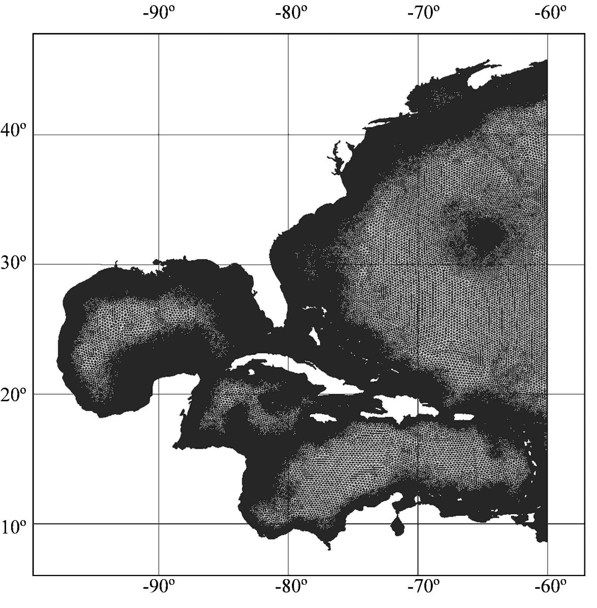
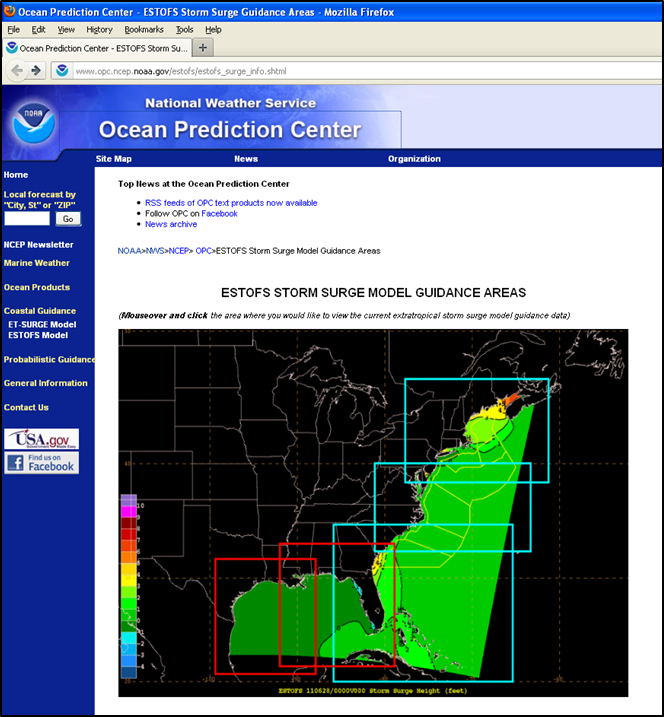
Figure 1: Left: the EC2001 unstructured mesh applied in the ESTOFS Atlantic system. Right: ESTOFS results available at NWS/NCEP Ocean Prediction Center.
Development and validation of the Nearshore Wave Prediction System
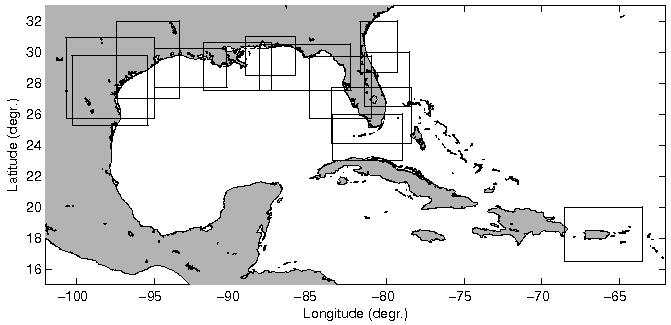
SURA-IOOS Testbed for the Evaluation of Coupled Wave, Storm Surge and Inundation Models
This presentation summarizes results from the coupled waves, surge and inundation component of the testbed. Models included in the analyses are ADCIRC, FVCOM, SELFE, SLOSH, SWAN, SWAVE and WWMII. Model skill assessments are performed using an extensive set of water level and wave time series from historical storms. Inter-model comparisons provide insight into the different model responses using the same forcing and similar model configurations. Evaluations include predicted water levels, inundation extents and execution speed. The impact of grid resolution on predicted inundation extents is evaluated by comparing model results from the base grid with those from a highly refined gird. Overall results quantify model performance expectations and resource requirements, thereby helping to clarifying their relative value and demands of different models and model implementations for operational use.
The testbed is led by the Southeastern Universities Research Association (SURA) with funding from the NOAA Integrated Ocean Observing System (IOOS) program. Computing resources have been provided by the National Science Foundation XSEDE program.