Visible - Latest
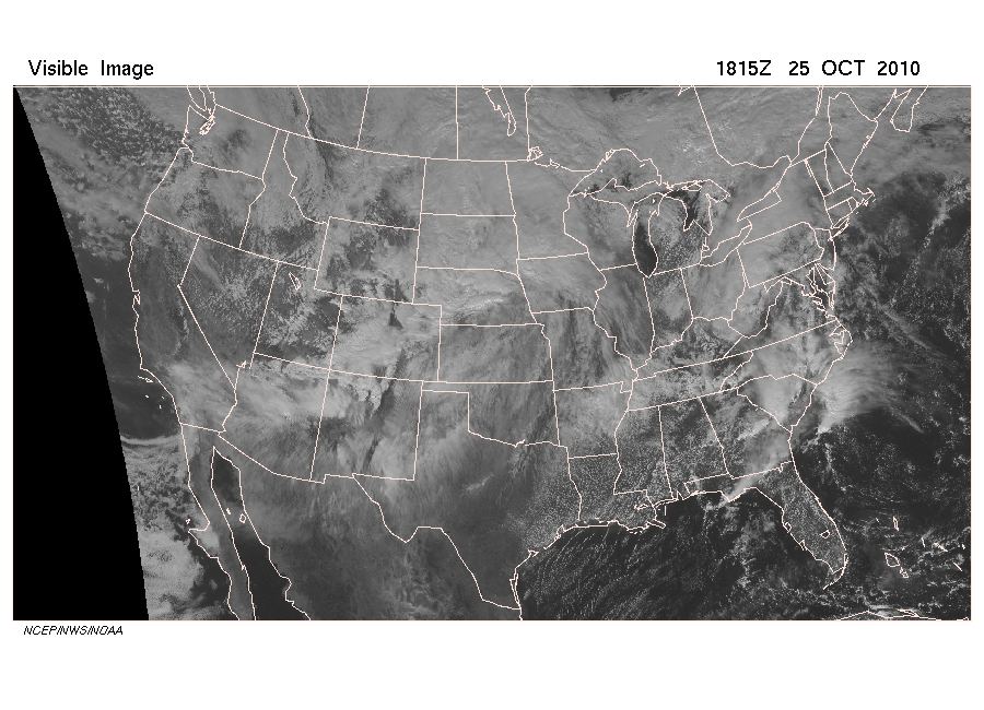
Click image for full resolution
Infrared - Latest

Click image for full resolution
Water Vapor - Latest
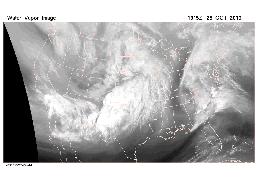
Click image for full resolution
The following section displays Weather Studies products listed under the Satellite views heading on the Weather Studies Maps & Links.
Visible - Latest Click image for full resolution |
|
|
Click
here for latest Visible satellite image from website |
|
Infrared - LatestClick image for full resolution |
Water Vapor - LatestClick image for full resolution |
| Click here for latest Infrared satellite image from website | Click here for latest Water Vapor satellite image from website |
The most recent visible,
infrared, and
water vapor satellite images of
the coterminous U.S. are available. Image time and date is given in the
upper right margin. Animations of infrared and water
vapor imagery for the preceding 24 hours is provided as well.
Other specific images that are provided for a longer period of time are:
In addition, there is a link to the NOAA Geostationary Satellite Server page which leads to other GOES products and worldwide geostationary imagery.
| Back to Contents |