AMS 100    Weather Studies Satellite Image Loops
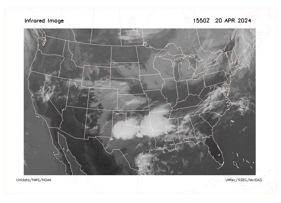
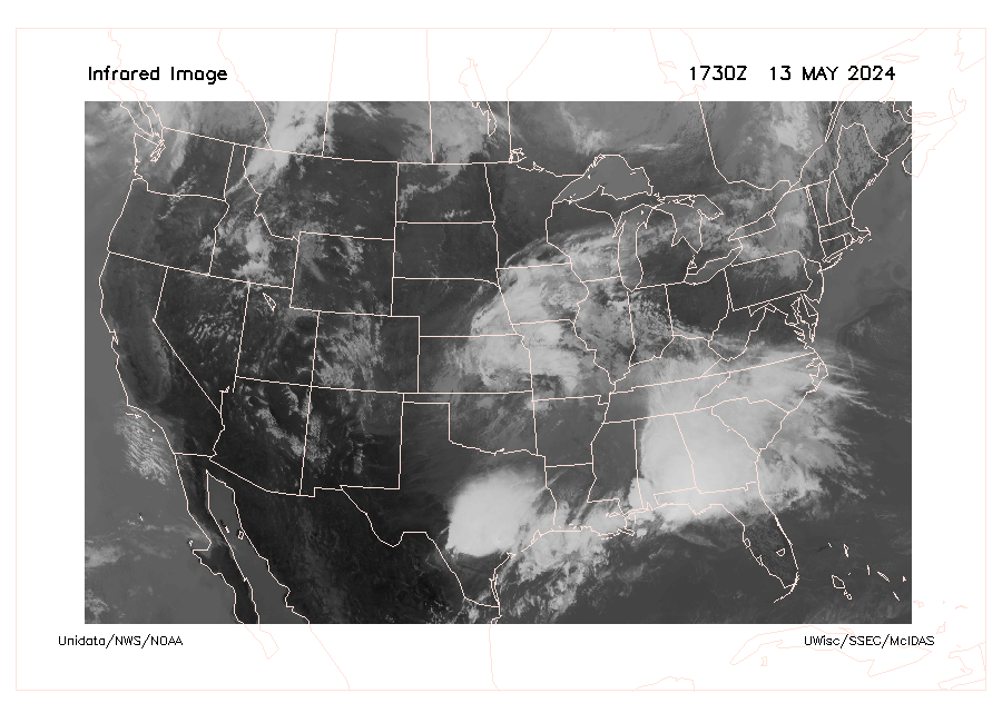
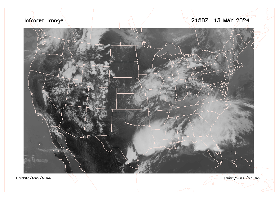
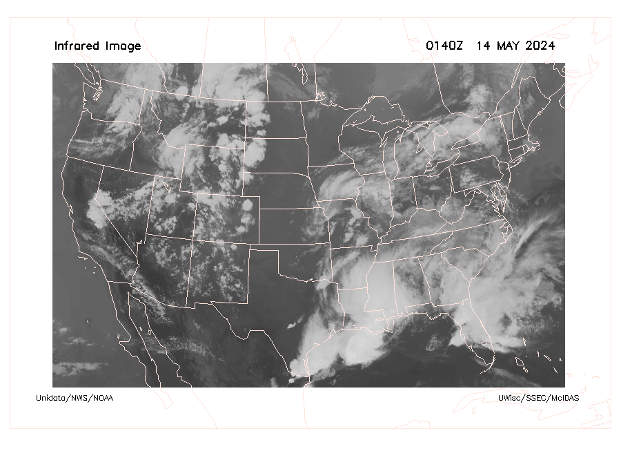
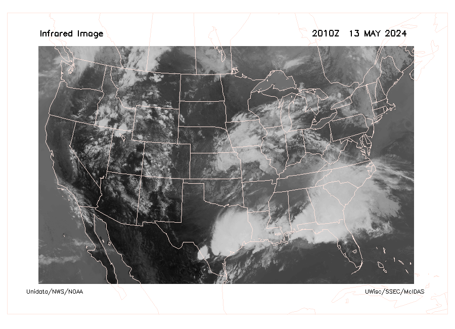
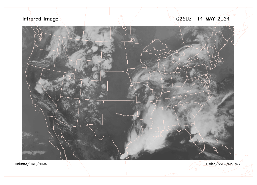
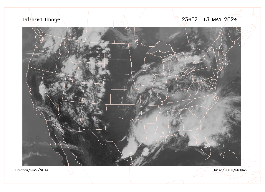
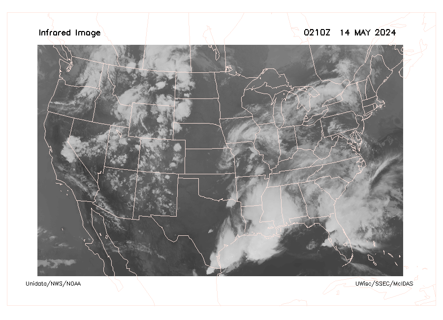
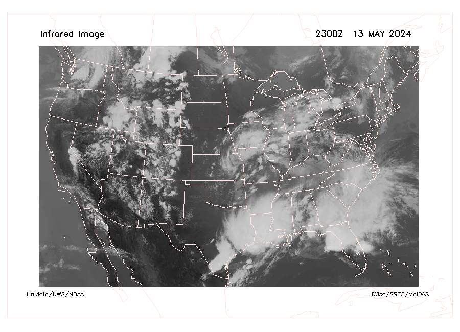
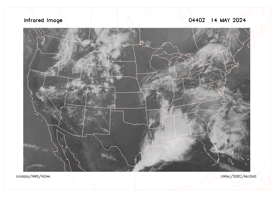
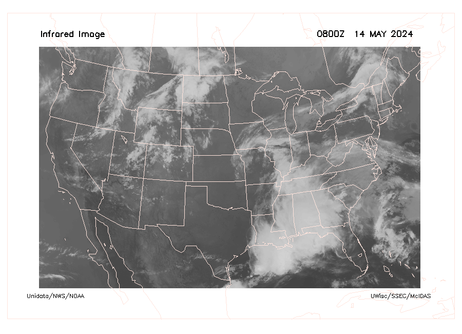
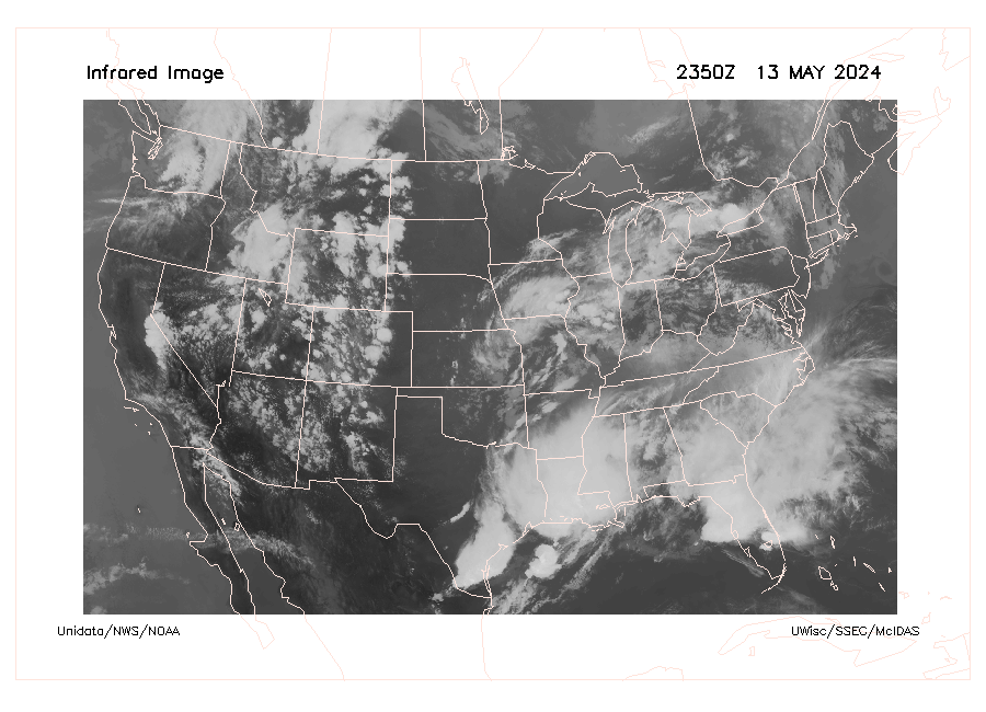
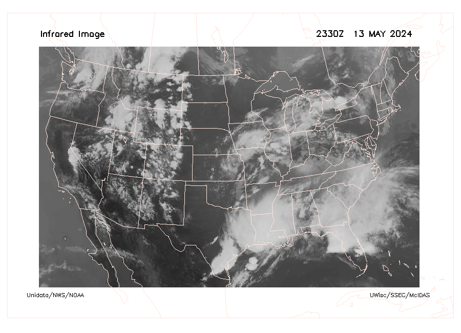
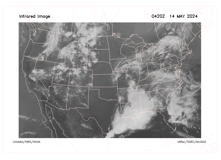
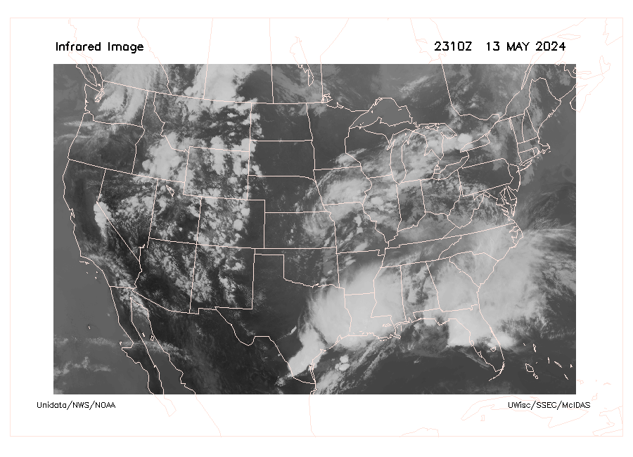
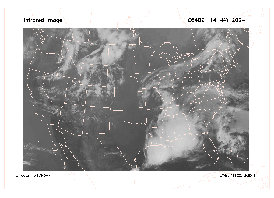
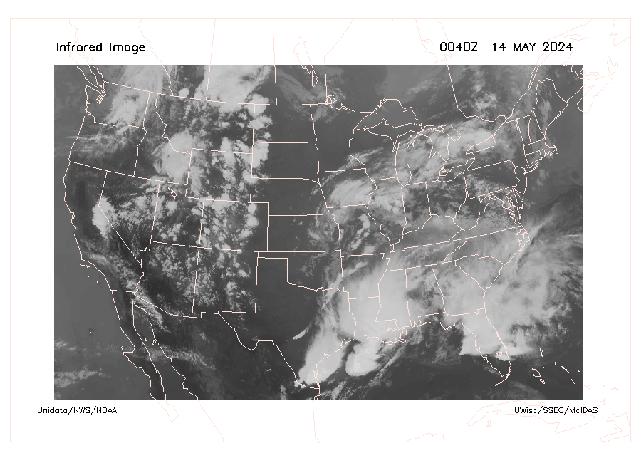
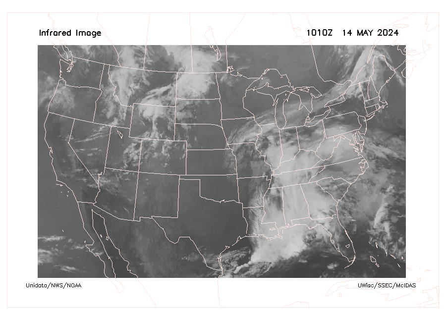
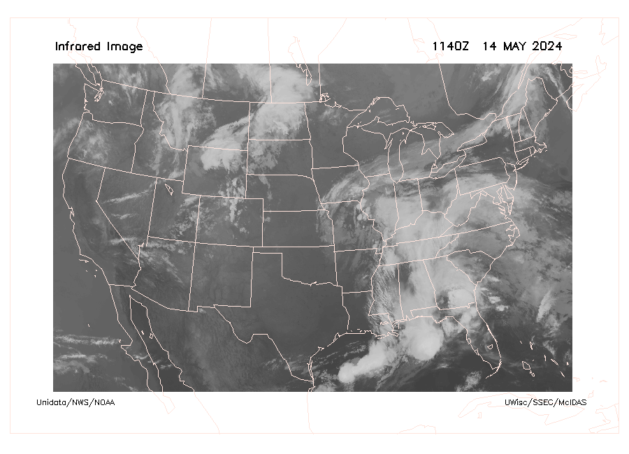
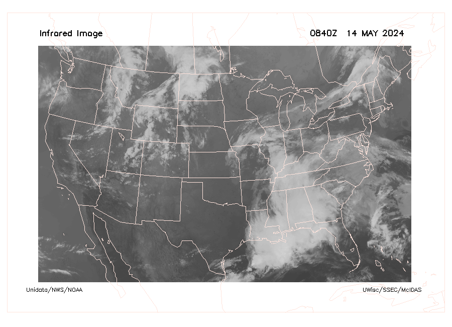
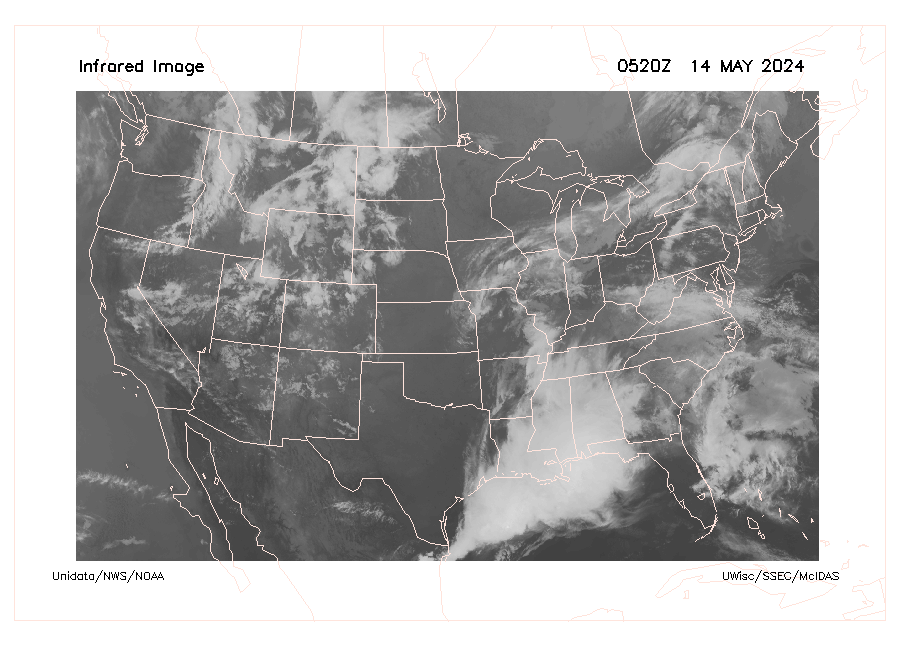
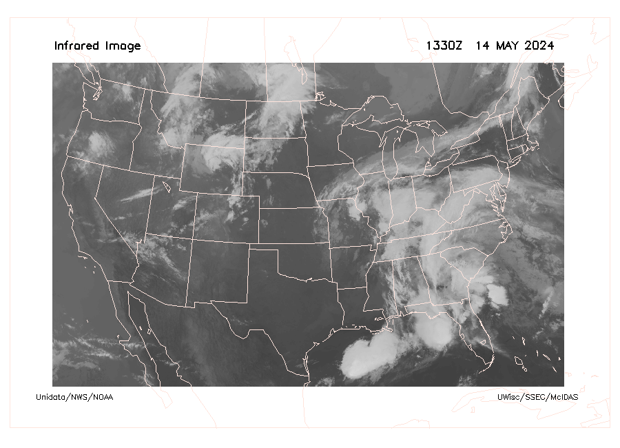
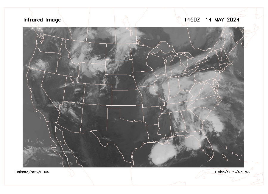
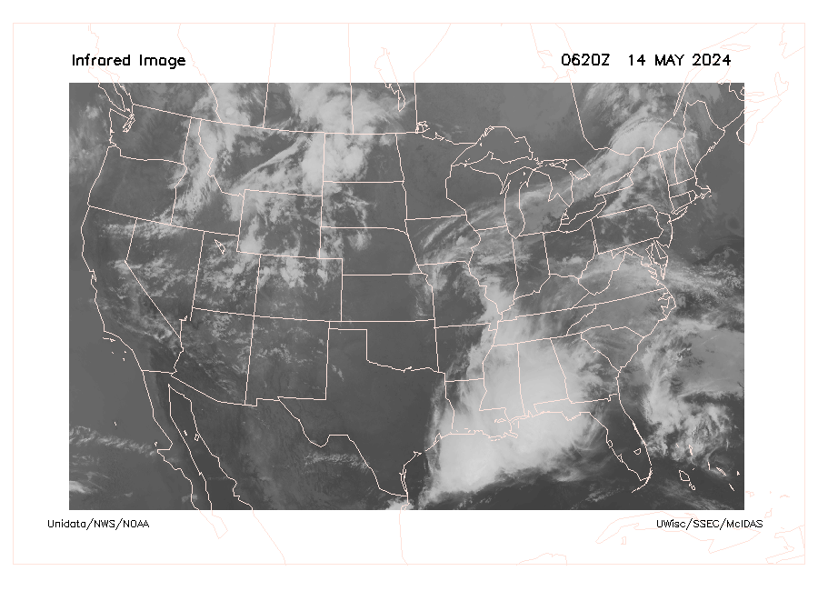
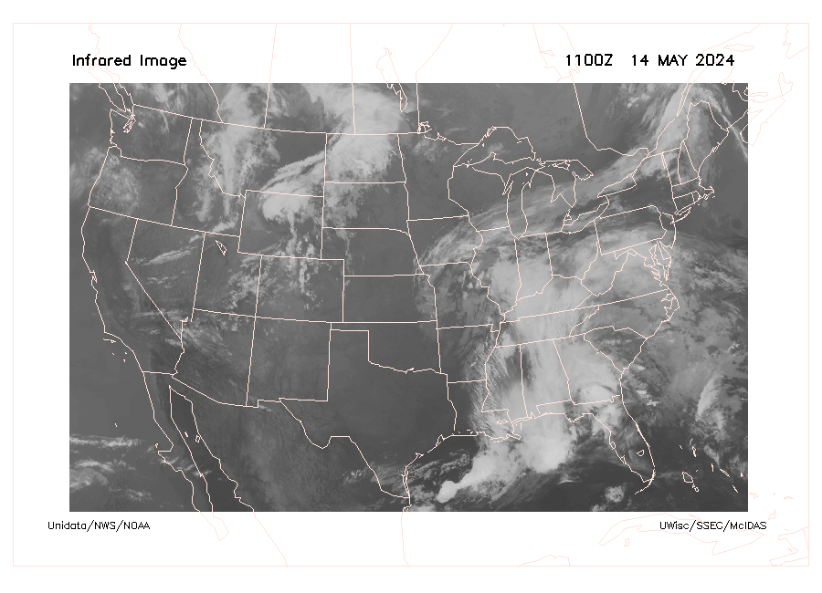
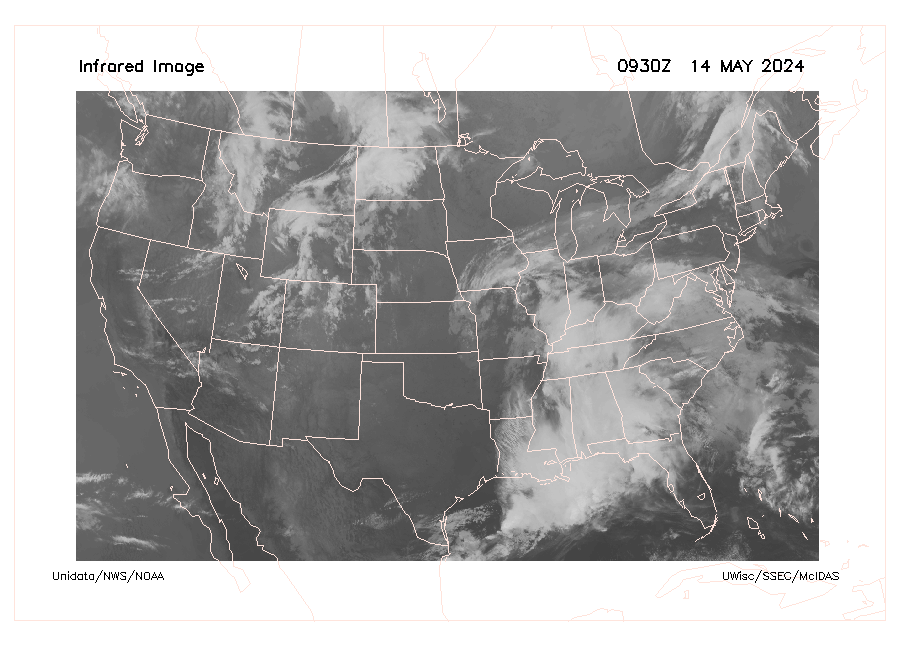
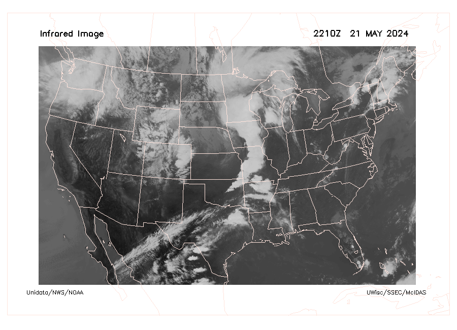
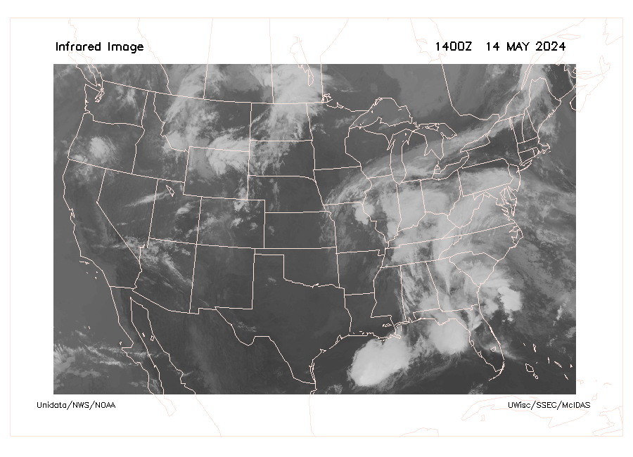
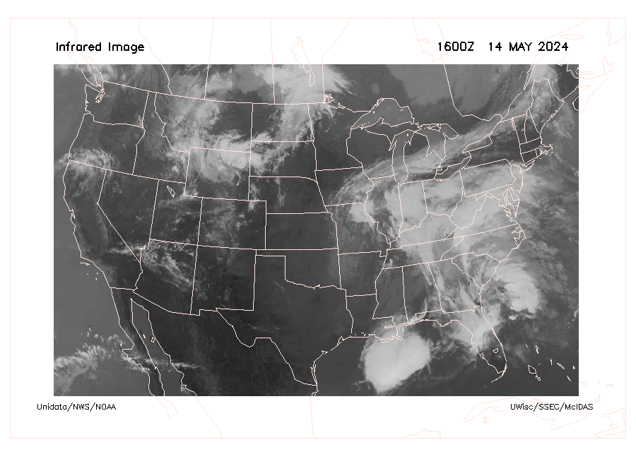
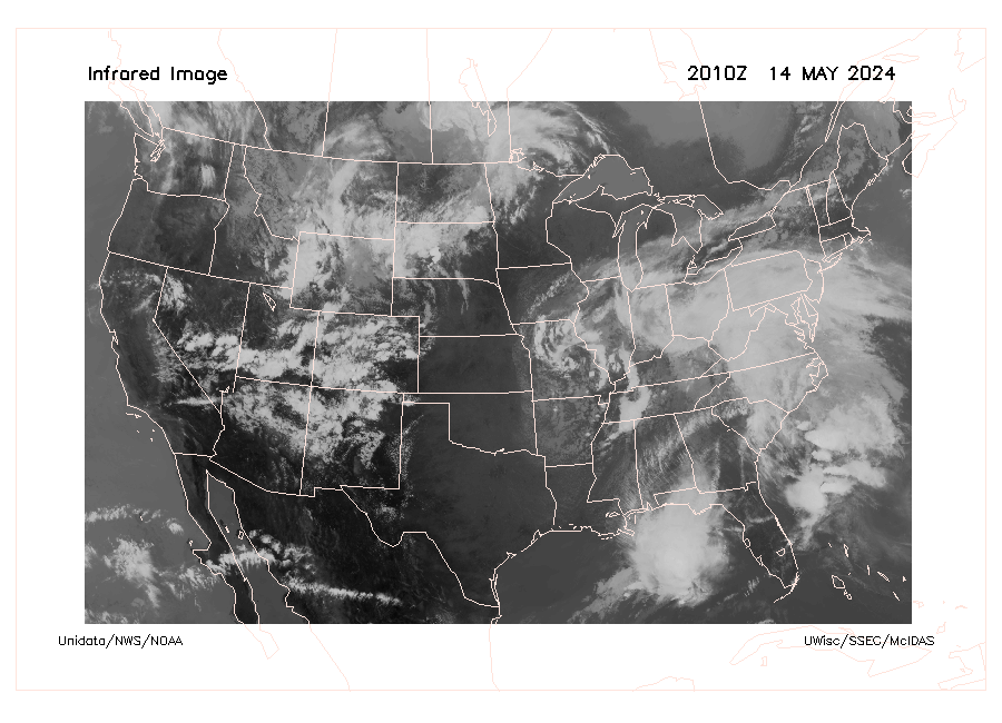
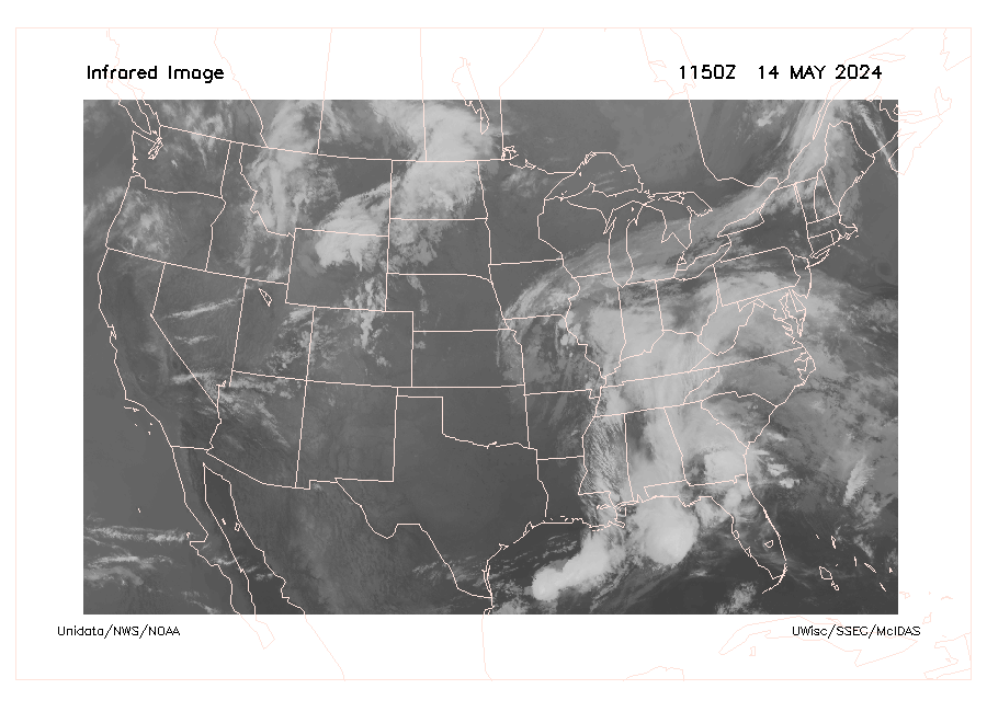
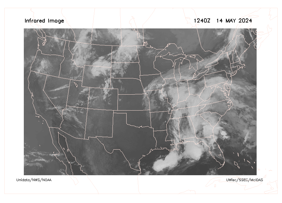
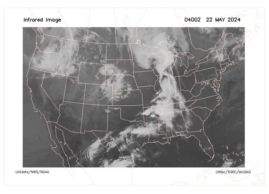
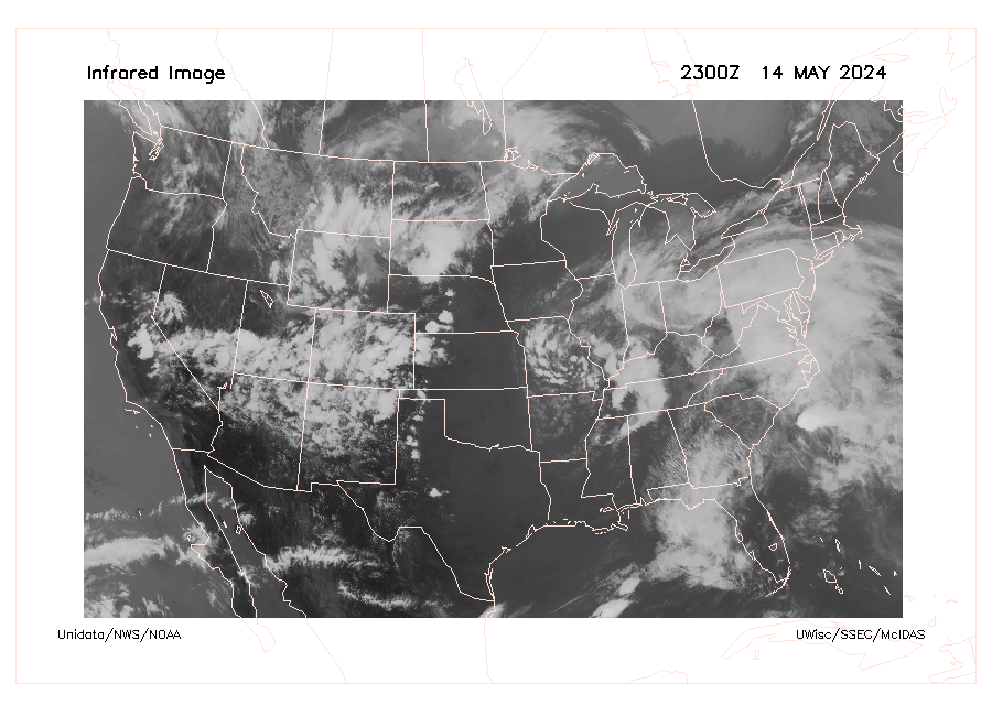
Infrared Image
grayscale IR Gray 0 IR Gray 1 IR Gray 2 IR Gray 3 IR Gray 4 IR Gray 5 IR Gray 6 IR Gray 7 IR Gray 8 IR Gray 9 IR Gray 10 IR Gray 11 IR Gray 12 IR Gray 13 IR Gray 14 IR Gray 15 IR Gray 16 IR Gray 17 IR Gray 18 IR Gray 19 IR Gray 20 IR Gray 21 IR Gray 22 IR Gray 23 IR Gray 24 IR Gray 25 IR Gray 26 IR Gray 27 IR Gray 28 IR Gray 29 IR Gray 30 IR Gray 31 IR Gray 32 IR Gray 33 IR Gray 34 IR Gray 35 IR Gray 36 IR Gray 37 IR Gray 38 IR Gray 39 IR Gray 40 IR Gray 41 IR Gray 42 IR Gray 43 IR Gray 44 IR Gray 45 IR Gray 46 IR Gray 47 IR Gray 48 IR Gray 49 IR Gray 50 IR Gray 51 IR Gray 52 IR Gray 53 IR Gray 54 IR Gray 55 IR Gray 56 IR Gray 57 IR Gray 58 IR Gray 59 IR Gray 60 IR Gray 61 IR Gray 62 IR Gray 63 IR Gray 64 IR Gray 65 IR Gray 66 IR Gray 67 IR Gray 68 IR Gray 69 IR Gray 70 IR Gray 71 IR Gray 72 IR Gray 73 IR Gray 74 IR Gray 75 IR Gray 76 IR Gray 77 IR Gray 78 IR Gray 79 IR Gray 80 IR Gray 81 IR Gray 82 IR Gray 83 IR Gray 84 IR Gray 85 IR Gray 86 IR Gray 87 IR Gray 88 IR Gray 89 IR Gray 90 IR Gray 91 IR Gray 92 IR Gray 93 IR Gray 94 IR Gray 95 IR Gray 96 IR Gray 97 IR Gray 98 IR Gray 99 IR Gray 100 IR Gray 101 IR Gray 102 IR Gray 103 IR Gray 104 IR Gray 105 IR Gray 106 IR Gray 107 IR Gray 108 IR Gray 109 IR Gray 110 IR Gray 111 IR Gray 112 IR Gray 113 IR Gray 114 IR Gray 115 IR Gray 116 IR Gray 117 IR Gray 118 IR Gray 119 IR Gray 120 IR Gray 121 IR Gray 122 IR Gray 123 IR Gray 124 IR Gray 125 IR Gray 126 IR Gray 127 IR Gray 128 IR Gray 129 IR Gray 130 IR Gray 131 IR Gray 132 IR Gray 133 IR Gray 134 IR Gray 135 IR Gray 136 IR Gray 137 IR Gray 138 IR Gray 139 IR Gray 140 IR Gray 141 IR Gray 142 IR Gray 143 IR Gray 144 IR Gray 145

Lower temps  color spectrum Higher temps

Why is “Clean longwave infrared window” band imagery important?

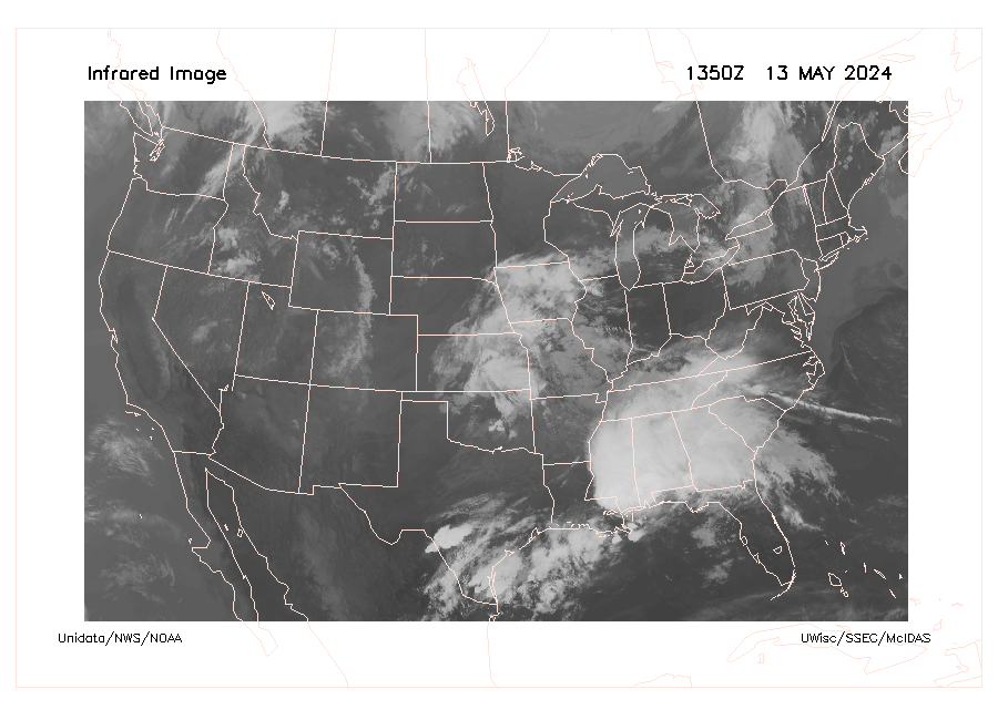
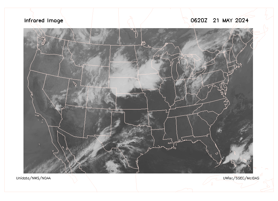
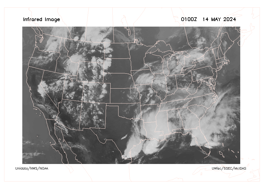
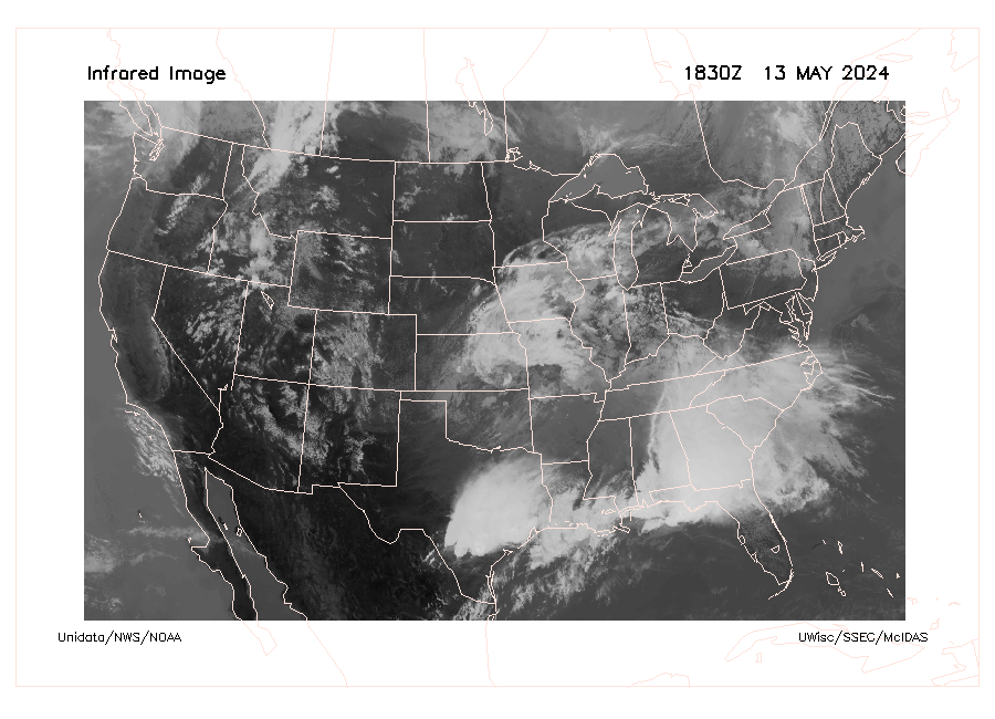
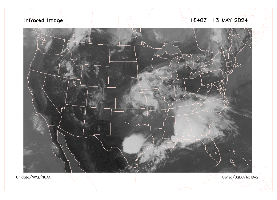
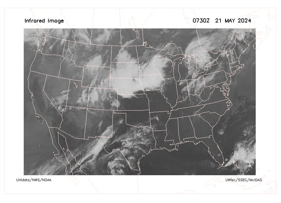
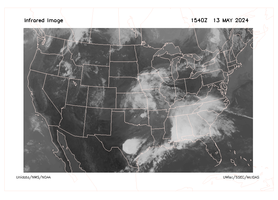
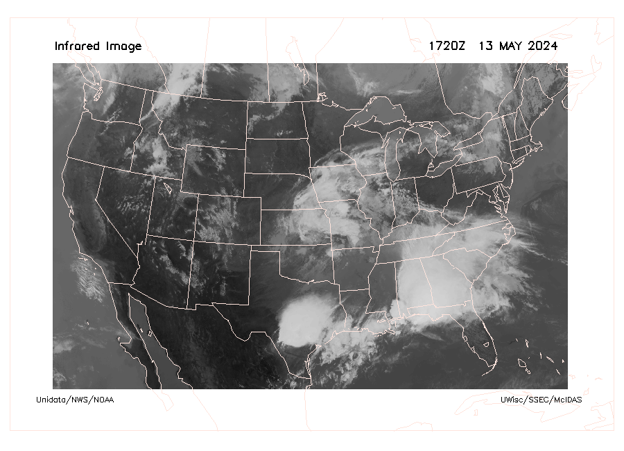
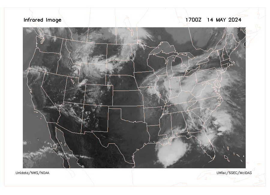
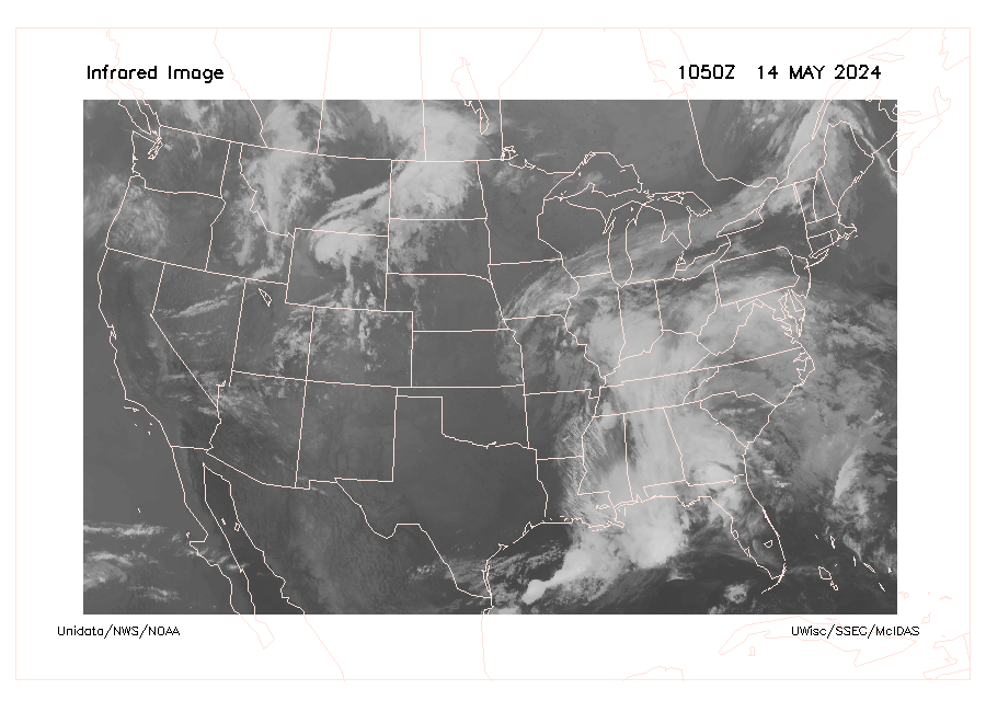
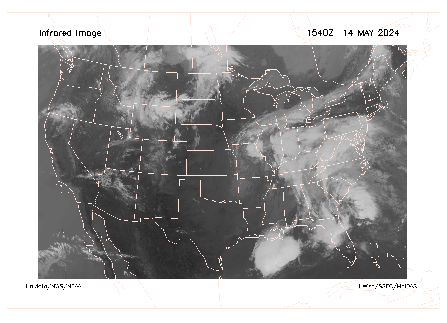
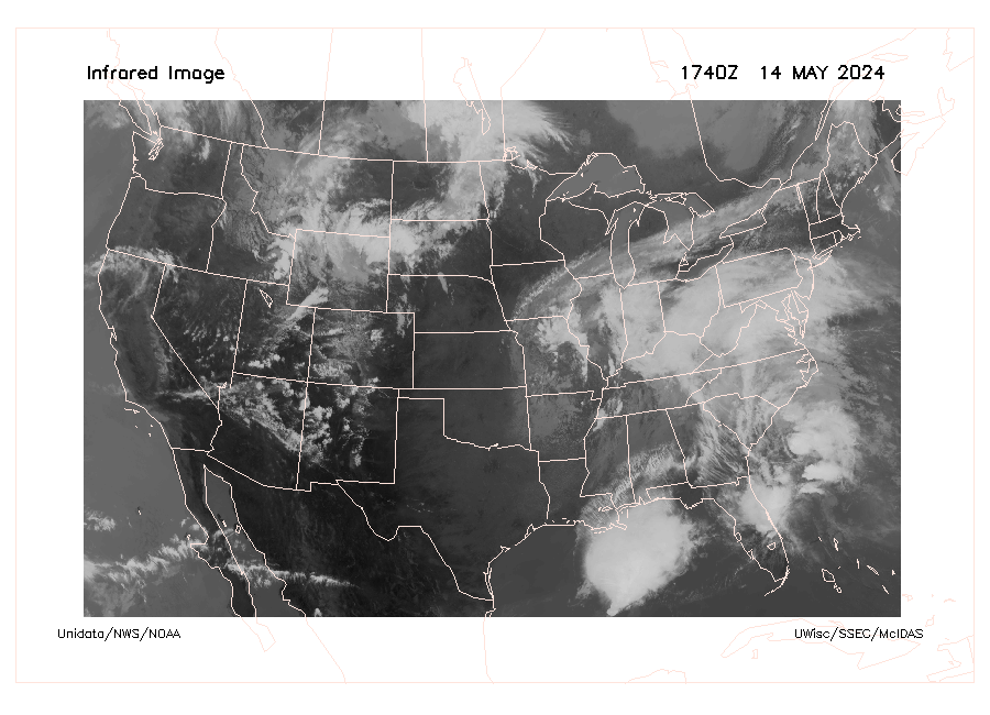
The 10.3 μm “clean” infrared window band is less sensitive than other infrared window bands to water vapor absorption, and therefore improves atmospheric moisture corrections, aids in cloud and other atmospheric feature identification/classification, estimation of cloudtop brightness temperature and cloud particle size, and surface property characterization in derived products. Infrared satellite images are used by meteorologists to determine where clouds are, but more importantly, how the clouds are moving. The temperature dependency of IR emission makes it possible, for example, to distinguish low clouds from high clouds on an IR satellite image. In the part of the atmosphere where most clouds occur (the lowest 10 km or 6 mi. or so), air temperature usually decreases with increasing altitude. IR-derived temperatures are calibrated on a gray scale such that the brightest white indicates the lowest temperatures and dark gray or black indicates land and water features - the highest temperatures. Read more at NOAA.