While many of us have just thought about spring cleaning, hurricane season is right around the corner. In the eastern North Pacific, covering a region extending from the western coastline of North America westward to a longitude of 140 degrees west, the official 2022 eastern North Pacific hurricane season defined by the National Hurricane Center will commence in four weeks (15 May, to be precise). In slightly more than six weeks, the official 2022 Atlantic hurricane season will start on 1 June in the North Atlantic basin, which includes the Gulf of Mexico and the Caribbean. The hurricane season in the Central North Pacific basin (from 140 degrees west to the International Dateline) also begins on 1 June. All three hurricane seasons officially end on 30 November.
Although a hurricane or other tropical cyclone may develop before these official start dates, such an event would be rare. Considering the period of record in the North Atlantic that extends back to 1851, the earliest recorded hurricane for any year was Hurricane Alex, which became a hurricane five years ago on 14 January 2016. Previously, an unnamed hurricane that formed on 7 March 1908 had been considered the earliest to have formed in a calendar year. The official end to the hurricane season is on 30 November, but the latest recorded hurricane for a year was the second Hurricane Alice of the year on 31 December 1954. Interestingly, Tropical Storm Zeta, formed on 31 December 2005 and continued into the new year.
In the eastern North Pacific basin, the earliest hurricane of the season for that basin on record (since 1949) was Hurricane Alma, a category 1 hurricane on the Saffir-Simpson Scale that formed on 12 May 1990 and reached hurricane status on the 15th, which coincides with the start of the hurricane season in that basin. On the other hand, the latest hurricane of the season was Hurricane Winnie, which became a Category-1 hurricane on 6 December 1983 and dissipated a day later.
In the central North Pacific basin, the earliest hurricane to form during modern times (since 1957) was Hurricane Pali on 11 January 2016. This hurricane was earlier than Hurricane Ekeka that formed on 28 January 1992. The latest central Pacific hurricane to have formed in a season during modern times was Hurricane Iwa, which reached hurricane strength on 23 November 1983.
Before considering this upcoming hurricane season, a look-back at last year would be worthwhile as it was historic:
With 21 named tropical (and subtropical) cyclones having formed in the Atlantic basin, the year 2021 ranks as having the third most active season over the Atlantic since records began in 1851, trailing the previous year's (2020) record season that had 30 tropical cyclones and 2005 with 28 named systems. Seven of the 21 named tropical cyclones in 2021 developed into hurricanes (with maximum sustained winds in excess of 74 mph). The season also had 13 tropical storms and one subtropical storm (with maximum sustained surface winds ranging between 39 and 74 mph). Four of these hurricanes became major hurricanes (category-3 or higher on the Saffir-Simpson Hurricane Intensity Scale). Hurricanes Ida and Sam reached category 4 status, with Sam reaching a high-end category 4 status with 155 mph maximum sustained winds on 26 September to the east-southeast of the northern Leeward Islands. One system (Teresa) remained classified as a subtropical storm through its life cycle. (A subtropical cyclone is a hybrid system, having both tropical and extratropical characteristics.) Using the Accumulated Cyclone Energy (ACE) as an indicator of activity across the Atlantic basin, 2021 had been well above-average in activity, with an ACE being 162 percent of the long-term annual mean. ACE measures the strength and duration of tropical cyclones in the basin and is accumulated throughout the year.
The first named tropical system of the 2021 Atlantic season was Tropical Storm Ana that formed on 22 May as a subtropical storm over the western Atlantic to the east of Bermuda, but transitioned to become a tropical storm a day later. The last tropical cyclone for the season was Tropical Storm Wanda that formed as a subtropical storm on 30 October over the central North Atlantic to the south-southeast of Newfoundland, but acquired tropical characteristics to become a tropical storm early on 1 November to the west-southwest of the Azores. Eventually, Tropical Storm Wanda became an extratropical cyclone on 7 November.
Eight named tropical cyclones made landfall along the Atlantic or Gulf coasts of the mainland United States in 2021, four fewer than the record of 12 landfalling tropical cyclones on the U.S. set in 2020. Six of these landfalling tropical cyclones were tropical storms, while two were hurricanes. Hurricane Ida made landfall on the Louisiana Gulf Coast as a category 4 hurricane on 29 August and Hurricane Nicholas came onshore along the Texas Gulf Coast as a category 1 hurricane on 14 September.
Additional information can be obtained for the individual tropical cyclones during the season from the NHC's Tropical Cyclone Reports at https://www.nhc.noaa.gov/data/tcr/index.php?season=2021&basin=atl with a preliminary map showing the tracks of these systems across the basin.
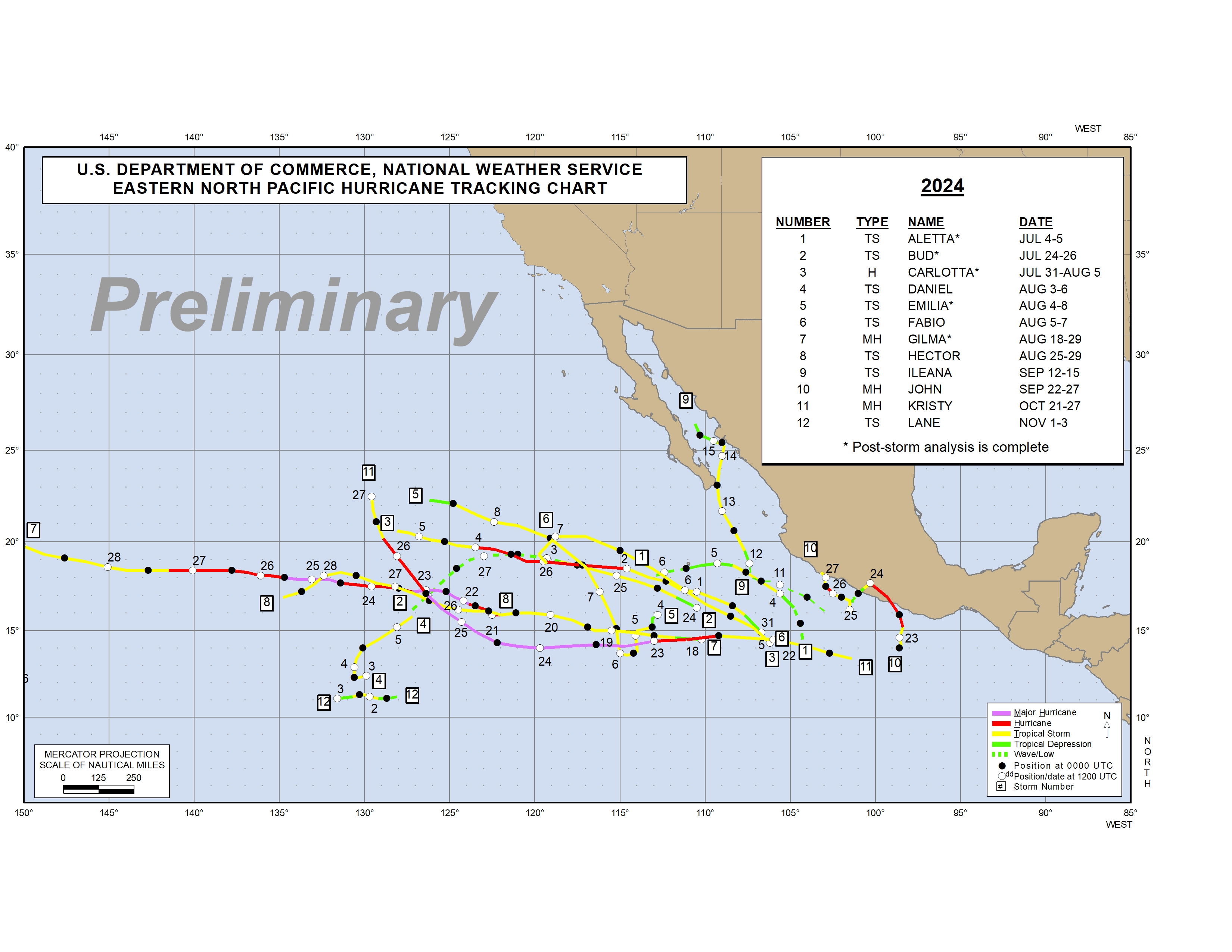
In the eastern North Pacific, the hurricane season runs from 15 May to 30 November. The 2021 hurricane season had nineteen named tropical cyclones, which would rank tied with two other years for seventh place in terms of tropical cyclone activity since 1949. Eight of these cyclones in 2021 reached hurricane status, with the other eleven classified as tropical storms. Two hurricanes became major (category-3 or greater) hurricanes, with Hurricanes Felicia and Linda) reaching category-4 status. Activity across the eastern Pacific In terms of Accumulated Cyclone Energy (ACE) indicates that activity to this point has been near-normal, with the accumulated ACE being 71 percent of the long-term average.
The first named tropical cyclone in the eastern Pacific during 2021 was Tropical Storm Andres, which intensified from a tropical depression offshore to the south-southeast of the southern tip of Mexico's Baja California Peninsula on 9 May. The last named tropical cyclone of the year was Tropical Storm Sandra, which strengthened to a tropical storm on 7 November south-southwest of the southern tip of Baja California. In slightly more than 24 hours, this tropical storm weakened to become at tropical depression and on 9 November, became a remnant low that dissipated over the waters of the eastern Pacific, well away from the Baja.
While most of the tropical systems remained well off the coasts of Mexico and Central America, four hurricanes (Nora, Olaf, Pamela and Rick) made landfall along the coast of Mexico, which tied the 1996 season for the most landfalling hurricanes in a single season.
For additional information concerning all of the 2021 tropical cyclones including a map of their tracks across the basin, and the individual NHC's Tropical Cyclone Reports at https://www.nhc.noaa.gov/data/tcr/index.php?season=2021&basin=epac.
The region of the North Pacific Ocean lying between 140 degrees west and the International Dateline (180 degrees longitude) is identified as the Central North Pacific Basin. The hurricane season for this basin officially begins on 1 June and ends on 30 November. The region is monitored by the National Weather Service Forecast Office in Honolulu, which activates the Central Pacific Hurricane Center (CPHC) when tropical cyclone activity becomes imminent in this basin.
During the 2021 season, three tropical cyclones (one tropical storm and two tropical depressions) entered the central Pacific basin from the eastern Pacific basin in June and July. Tropical Depression Felicia crossed into the central Pacific in July, after having been a category 4 hurricane in the eastern Pacific basin. Tropical Depression Jimena had been a tropical storm in the eastern Pacific when it reached the central Pacific in early August. Finally, Tropical Storm Linda had been a category 4 hurricane prior to entering the central Pacific in mid-August. Tropical Depression Felicia became a remnant low when it came to within 1200 miles east of the Hawaiian Islands, while the remnants of former Tropical Storm Linda traveled across the islands, accompanied by torrential rains. For additional information concerning tropical cyclones in the Central North Pacific, see https://www.nhc.noaa.gov/text/HFOTWSCP.shtml.
The 21 named tropical cyclones that formed during the 2021 North Atlantic hurricane season meant that the season was the third most active season on record, behind the record of 30 named systems set in 2020. A typical North Atlantic hurricane season would have 14 named systems, based upon long-term averages running from 1991 to 2020. The seven hurricanes in 2021 were slightly more than the average number of seven per annum for the last 30 years. The four major hurricanes (category 3 or higher) in 2021 were slightly more than the 1991-2020 average of three hurricanes that reach at least category-3 status, but below the seven major hurricanes that formed in both 2005 and 2020. Conversely, the least active season in recent history was 1983 when only four named tropical cyclones were reported (three hurricanes and one tropical storm). Only two hurricanes formed in 1982 and 2013, which represent the two years with the fewest hurricanes since 1931.
The late Professor William Gray and Philip Klotzbach, hurricane experts from Colorado State University in Fort Collins, have been issuing long-range Atlantic hurricane forecasts for more than two decades. Their forecasts are based upon several factors that include analysis of the wind field at several levels, the rainfall over West Africa and the effects of El Niño. For additional information on these forecasts, refer to https://tropical.colostate.edu/forecasting.html. In early April 2021, Klotzbach's team released its initial forecast of the 2021 North Atlantic hurricane season that indicated a above-average season in terms of the number of tropical cyclones. In their initial forecast,
They envisioned 17 named tropical cyclones, which include eight hurricanes. Of these hurricanes, the forecasters foresaw four major hurricanes. An above-average probability was anticipated for major hurricanes making landfall along the United States coastline and in the Caribbean in 2021. The team had based their initial outlook upon ENSO-neutral conditions that would be present through the peak of hurricane season, before possible transition into La Niña conditions later during fall. Subsequent outlooks prepared in June and July continued to favor a very active hurricane season because of anomalously warm tropical Atlantic waters and atmospheric conditions favorable to cyclone development.
Forecasters with NOAA's Climate Prediction Center (CPC) also generated an outlook for the 2021 Atlantic hurricane season in mid-May. They foresaw a hurricane season with above-average activity, giving a 70-percent chance that the basin could experience 13 to 20 named tropical cyclones. The forecasters also felt that six to ten tropical cyclones could become hurricanes, with five to six of these hurricanes possibly becoming major hurricanes. The forecasters anticipated two main climate factors that they felt would be operative between August and October that would be conducive to an active season. One of these factors was the continuation of the set of conditions that have favorable to the production of the ongoing high-activity era for Atlantic hurricanes that began in 1995, which involve i.) high sea surface temperatures (SSTs) in the basin, ii.) weaker trade winds in the section of the tropical Atlantic Ocean and Caribbean Sea known as the Atlantic hurricane Main Development Region, iii.) weaker vertical wind shear and iv.) an enhanced West African monsoon. The other factor helping drive their forecast was a CPC forecast that at the time favored continuation of ENSO-neutral conditions, although redevelopment of weak La Niña conditions was possible. ENSO-neutral conditions do not inhibit hurricane formation in the North Atlantic nor suppress the high-activity era conditions, while La Niña would tend to reinforce those high-activity era conditions.
The 2021 season in the eastern North Pacific with nineteen named systems is more than the long-term (1991-2020) average of 15 named tropical cyclones. However, the eight hurricanes in 2021 equaled the long-term average of eight hurricanes per annum. The three major hurricanes in 2021 was slightly below the 1991-2020 average of four in a year.
With below- or near-average sea surface temperatures across the eastern Pacific hurricane region as May began, CPC forecasters predicted a near or below-average season. They gave a 70-percent probability for the development of 12 to 18 named storms, of which 5 to 10 could become hurricanes, including two to five major hurricanes. The forecasters were basing their outlook upon the ENSO-neutral conditions that were in effect at that time, along with the possibly of transitioning into a weak La Niña during the hurricane season, which generally tends to favor reduced eastern Pacific hurricane activity.
The 2021 season in central North Pacific basin was relatively quite as compared to the long-term average as one tropical storm and two tropical depressions entered from the eastern North Pacific; no named tropical cyclones formed within the central Pacific in 2021. Over the last 30 years, four named tropical cyclones either developed or entered this basin from the east, on average, along with three hurricanes and two major hurricanes; in addition, an average of one hurricane typically forms in the basin only once in two years.
CPC forecasters in May 2021 had issued an outlook for the central North Pacific basin that indicated a near or below average season. They expected two to five tropical cyclones to affect the central North Pacific in 2021, either forming within the basin or entering it from the Eastern Pacific. At the time the outlook was made, the forecasters had anticipated ENSO-neutral conditions would continue through Northern Hemisphere summer, with a possible redevelopment of La Niña conditions.
The National Hurricane Center (NHC) has an online "Tropical Cyclone Climatology" at https://www.nhc.noaa.gov/climo/ that includes updated information for both the North Atlantic and eastern North Pacific basins. This site expands upon the NHC "Tropical Cyclones of the North Atlantic Ocean, 1851-2006." While a paper copy of this book is available for a cost from National Centers for Environmental Information (NCEI), a 243-pg pdf file of this edition can be downloaded for free.
NHC also released the first edition of "Tropical Cyclones of the Eastern North Pacific Ocean, 1949-2006." In addition to a paper copy that can be purchased from NCEI, a free 164-page pdf
file is available online. Both of these climatologies have numerous graphics that show long-term changes in tropical cyclone frequency in the two basins.
Track maps for each season in both the Atlantic and eastern North Pacific through 2020 following the same format found in the paper copies can be downloaded from NHC. (Note: the track maps for 2021 are still preliminary and can be found in the links cited above. )
A climatology of tropical cyclones in the central North Pacific from the 1950s to 2013 is available from the CPHC
climatology website maintained by the Central Pacific
Hurricane Center (CPHC) in Honolulu, HI. A compilation of individual tropical cyclones in the central Pacific is also available by year extending back to 1995.
Prepared by Edward J. Hopkins, Ph.D., email [email protected]
© Copyright, 2022, The American Meteorological Society.